

Research HighlightsUse of High-Density Protein Maps and Remote Sensing to Understand Protein Levels in U.S.-Produced Soybeans
By Scott Nelson, Iowa Soybean Association
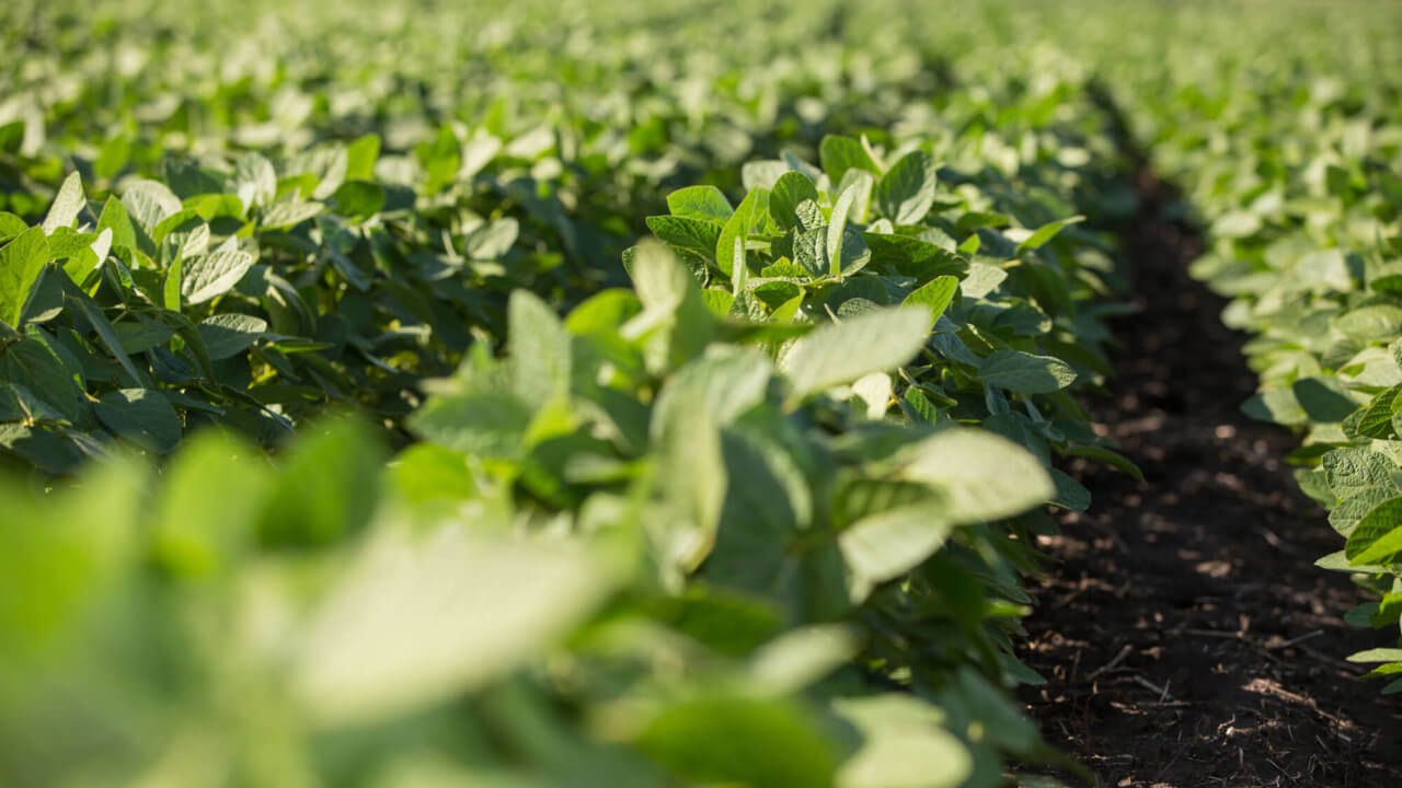
Soybeans produced in the northern regions of the United States typically have lower protein content than those produced in the southern U.S. regions and Brazil. This difference in protein content is a major concern for U.S. soybean farmers, due to the associated potential for loss of U.S. soybean export share on the international market.
The declining soybean protein content in the northern areas can be attributed to several factors, including a shorter growing season and prevalence of lower protein varieties. Weather, terrain attributes, soil fertility levels and soybean varieties’ planting dates have also been shown to affect soybean protein content levels.
The selection of soybean varieties that naturally produce higher levels of protein is an important step in closing the United States protein deficit; however, there are large within-field and between-field variations in protein levels of commercial soybean varieties. This $100,000 project collected quantitative data about within-field variation of soybean protein content, which will lead to new insights regarding the parameters that affect protein content. These insights will be used to identify best management practices for existing varieties of soybean that lead to higher protein levels.
Having accurate protein maps of production soybean fields will open many opportunities to identify factors that drive higher or lower protein levels. In addition, protein maps will allow growers to segregate fields and zones with higher protein, in order to capture potential price premiums. High-density maps of soybean protein content across landscape positions and soils will provide opportunities to understand and develop management practices to increase the total field or farm protein production.
The aim is to enable producers to estimate soybean protein levels before harvest, using multi-spectral vegetation indexes, and then apply the protein map to quantify the total protein yields from different parts of the fields.
Spatial NIR samples were collected during the 2018 field season in six fields covering approximately 630 acres total. Grain samples were collected using a custom grain bypass on the combine to allow the soybean samples to be scanned with NIR, and a subset of samples to be collected in order to collect calibration data.
To understand the effects of terrain and soil attributes on protein concentration, six of the fields were grid sampled for organic matter, phosphorous, potassium and cation-exchange capacity. The historical corn and soybean yield data for those same fields were also collected. Aerial imagery for the six fields was collected every 10-15 days during the season using a commercial aerial imagery system.
Collecting and analyzing quantitative data on the relationships between protein maps, soil and terrain attributes and crop inputs will provide valuable insights into the parameters that are associated with higher protein content, and this will allow growers to better control and profit from the protein content of their soybean crops.
Published: May 15, 2020


