

Research HighlightsScouting for Trouble
Using drone imagery can help locate and possibly identify soybean issues
By Carol Brown
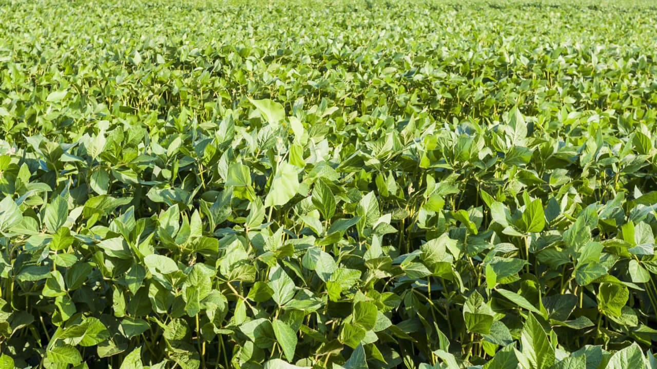
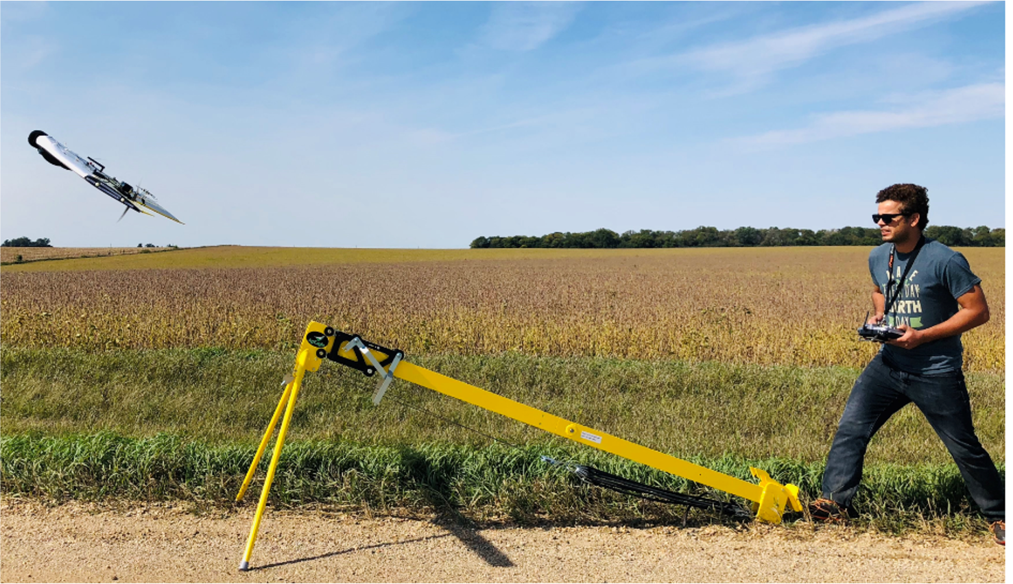
Unmanned aerial vehicles (UAVs), or drones, are now used for many things from searching for missing livestock to delivering a package — and now crop scouting in South Dakota soybean fields can be added to the list.
David Clay, distinguished soil science professor at South Dakota State University, is using UAVs in his research funded by the South Dakota Soybean Research and Promotion Council.
“Last year, we monitored about 60 fields, three times a year, for soybean farmers across the state,” says Clay. “We use the information collected from the drone to demonstrate how this technology can help a farmer scout their field to find problem areas. In the past, our UAV images did a good job of identifying where problem areas were, but not what the problem was.”
With newly purchased sensor, this season Clay hopes the higher quality scans from the drone can tell him more about what those plant stressors are. They will be flying the drone in fields with known problems and using those collected images to verify similar problems at other sites.
“We want to look at the sensor information where we know what the problems are to see specific spectral imagery bands and learn whether those spectral bands hold across a number of sites,” Clay says.
Learning to identify and understand the spectral images can help improve crop scouting immensely in the future. Clay is expecting these images can tell them more about particular field stressors.
In addition to this enhanced drone work, they will continue to scout private fields for issues of concern for farmers. Clay’s graduate students visit the farms, fly the drone over the field of interest, collect images, and analyze the data — three times per season. They look for things such as places where a herbicide didn’t perform, plant disease symptoms, or in-field research plot comparisons.
“The drone can hone-in on the field location of where the issues are, making field scouting more efficient,” says Clay. “We show the data to the farmer and also compare the images to their yield monitor so they can see how the drone image data can help them in the future.”
Clay sees that when using drone images, crop scouting will become easier, especially for those producers with large fields. The UAV can fly the entire field much quicker than it can be walked, so problems can be spotted sooner, which makes for better, more accurate management decisions as well as precision applications, saving the farmer time and money.
For more information about Clay’s research, visit: https://onfarmresearch.sdsoybean.org
Published: Jun 7, 2021


