

Research HighlightsLocal Weather Data Supports Management Decisions in Georgia
By Laura Temple
What will the weather be? This is a common, critical question from farmers.
What is the weather like right now? This is a similar question that is just as critical. In-depth, real-time weather data provides valuable insight for countless crop management decisions, like when to plant, spray or harvest.
As of June 2021, the University of Georgia Weather Network has served Georgia farmers for 30 years. For many of these years, this network has depended on funding from the Georgia Soybean Commodity Commission and other agricultural groups to help maintain its services.
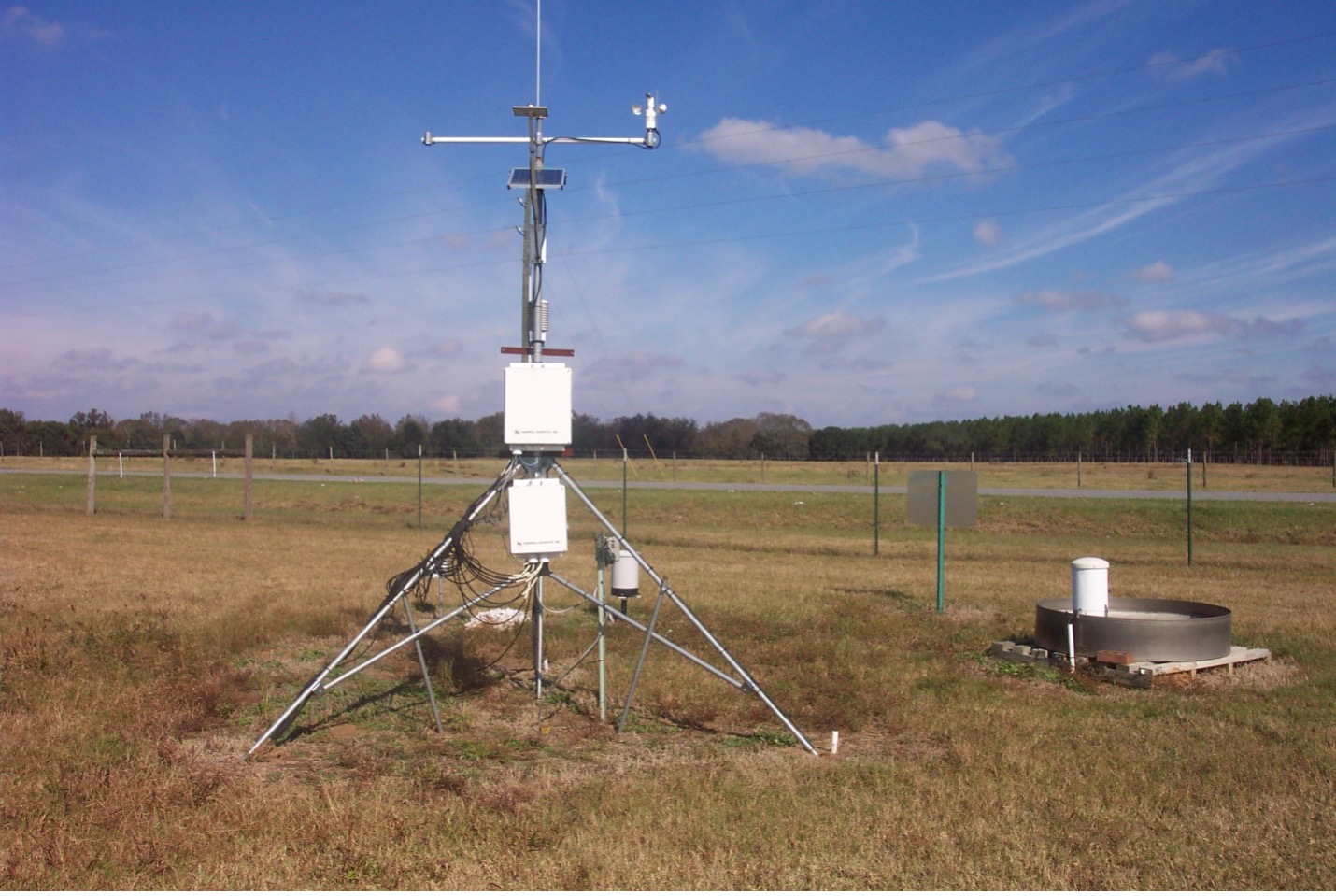
“Our network has grown from just 6 weather stations 30 years ago to a network of 86 identical weather stations throughout the state, primarily in agricultural areas,” says Pam Knox, agricultural climatologist and weather network director at the University of Georgia. “These stations monitor current weather conditions and provide data like soil temperature and moisture, solar radiation, relative humidity, wind and other data that matters to farmers.”
She says county Extension agents find the local data invaluable as they advise farmers. For example, real-time soil temperature data reveals when soils are warm enough for planting. Solar radiation information identifies when crops should reach certain growth stages. Humidity and temperature readings indicates when conditions could allow diseases to thrive. Wind and humidity data shows if conditions are acceptable for spraying.
“You can’t make a good decision if you don’t have data,” Knox says. “The information from our weather stations is readily available online to support in-season decisions for soybeans and other crops.”
The identical weather stations collect and relay information to the network website, www.weather.uga.edu. In addition to current information, the site contains historical temperature and precipitation data. And Knox says more detailed historical data can be provided upon request.
As an agricultural climatologist, she monitors weather trends. For example, she notes that despite being in a La Niña in 2021, which usually causes warm, dry weather, the southeast experienced a cool, wet winter. And, despite heavy spring rain events that dropped as much as 8 inches of rain in a day in some locations, much of the state is behind average in precipitation. Knox also provides useful insight to farmers through the Climate and Agriculture in the Southeast blog.
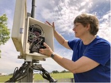
Soy checkoff and other agricultural group funding supports weather station maintenance, repair, calibration, component replacement and more. And while it is difficult to quantify the benefit of this investment, real-time weather data does improve soybean crop management.
“We sincerely appreciate the support of the Georgia Soybean Commodity Commission,” Knox says. “We would not have been able to provide practical, real-time data for 30 years without their help, and we continue to rely on their help to continue delivering relevant weather data.”
Published: Jun 7, 2021


